


Because a project’s progress is often incumbent on the completion of survey and utility work, it is important that this work is done correctly the first time. TREKK’s surveyors provide precise, accurate and user-friendly survey data using the latest technology tools.
Our traditional survey team brings expertise in land and construction surveying, mapping, easements and exhibits, right-of-way and property research. In addition, we handle mapping for transportation, bridge, water, wastewater, stormwater, BIM and site development projects.
Our value-added utility coordination and locating service provides the assurance and accuracy of subsurface utility location prior to survey and design. This service helps reduce costs associated with misinformation, incomplete data and construction change orders. TREKK offers seamless coordination with One Call service and all local utility companies.
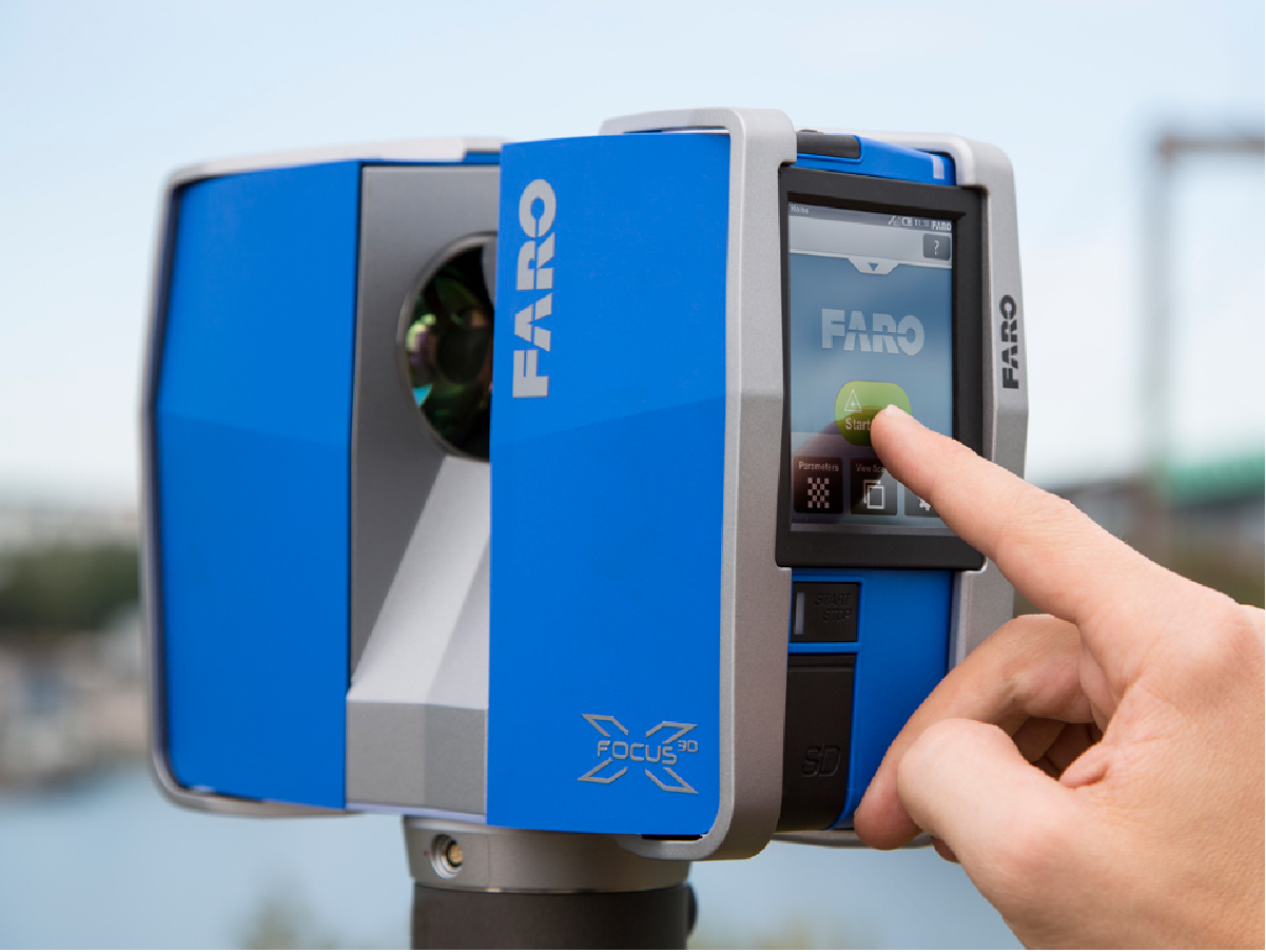
Our in-house LiDAR services include terrestrial mobile LiDAR, which allow us to safely gather survey-grade data without lane closures or traffic disruptions. Implementing terrestrial mobile LiDAR as part of our in-house transportation toolbox provides safer data acquisition in dangerous environments. This safety benefit for our crews and the traveling public extends beyond industry standards, reducing risk for the entire project. In 2022, we expanded our static LiDAR services to support our clients with indoor mapping for civil engineering, historical recordation, architectural, plant and mechanical operations.
LiDAR technology supports our clients’ scanning needs, including underground tunnel walks, deep shaft inspections and traditional surface scanning for infrastructure projects. The power of LiDAR has proven so beneficial to our clients that we added SLAM technology, uncrewed sUAS LiDAR and photogrammetry to complement mobile scanning. Static LiDAR completes our toolbox for indoor applications of the built environment.