TREKK and the city of Columbia have partnered on various field inspections, flow metering, mapping, survey and engineering projects over the past 20 years. In 2023, we initiated a project to map stormwater features identified as “unknown” in the city’s ArcGIS database.
The workflow to determine assets in need of inspection consists of reviewing existing stormwater GIS data and selecting areas with data gaps. Data gaps could include unknown upstream or downstream structures from a stormwater line, missing attribution, such as pipe material, pipe diameter or rehabilitation type, or verification of line segment’s existence in the system.
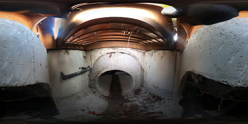
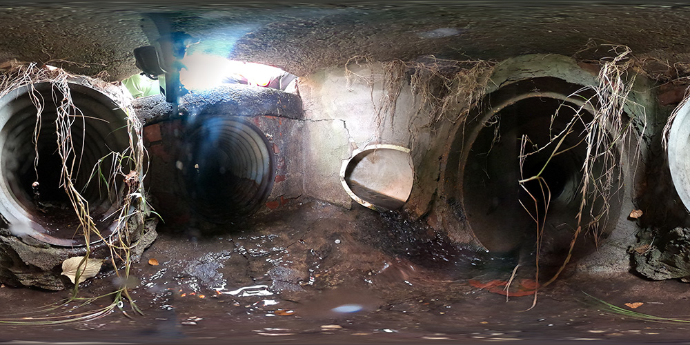
After removing the features that could be populated with as-built plans, TREKK and the city were left with a subset of approximately 650 stormwater segments to inspect. TREKK completed inspections as a pilot program, working with the city on field data collected, report format and deliverable schema compatible with the city’s ArcGIS system. Through the first phase, the work consists of field locating and mapping more than 800 structures and identifying more than 400 stormwater pipes.
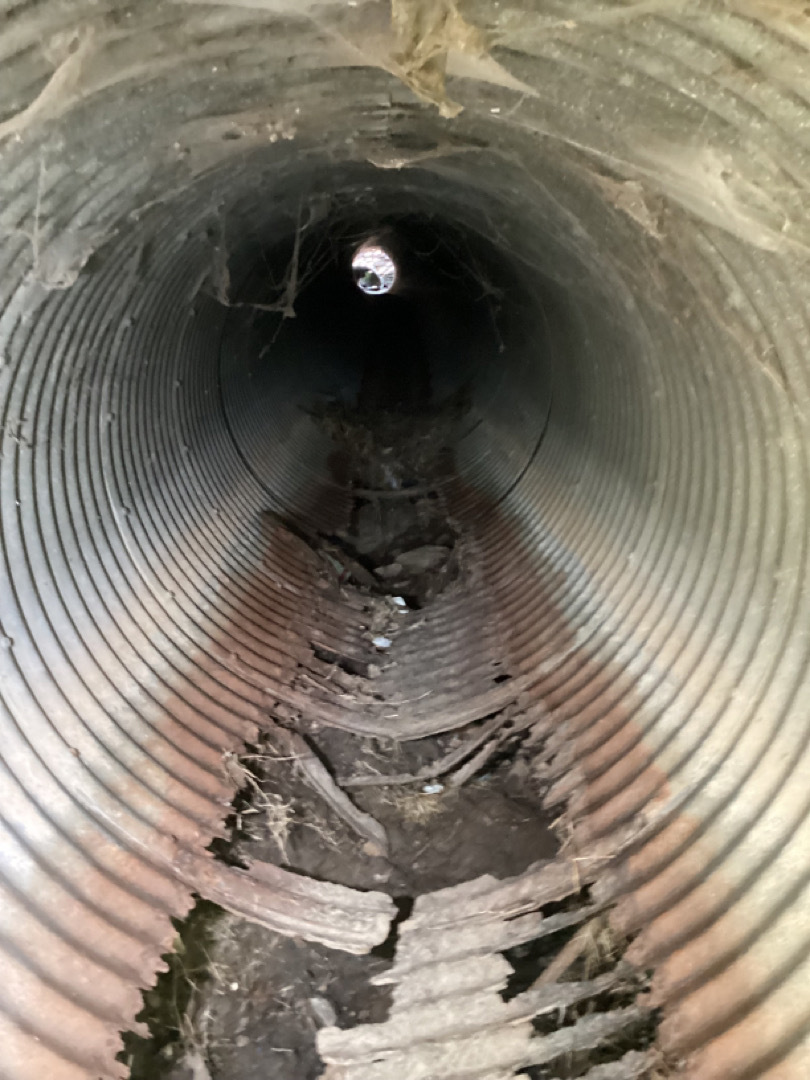
TREKK uses Fulcrum with tailored data collection fields to document pipe, inlet and discharge conditions using a 1 to 5 rating system. Columbia will use this information to update its database and prioritize structures for rehabilitation.
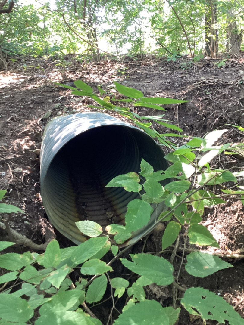
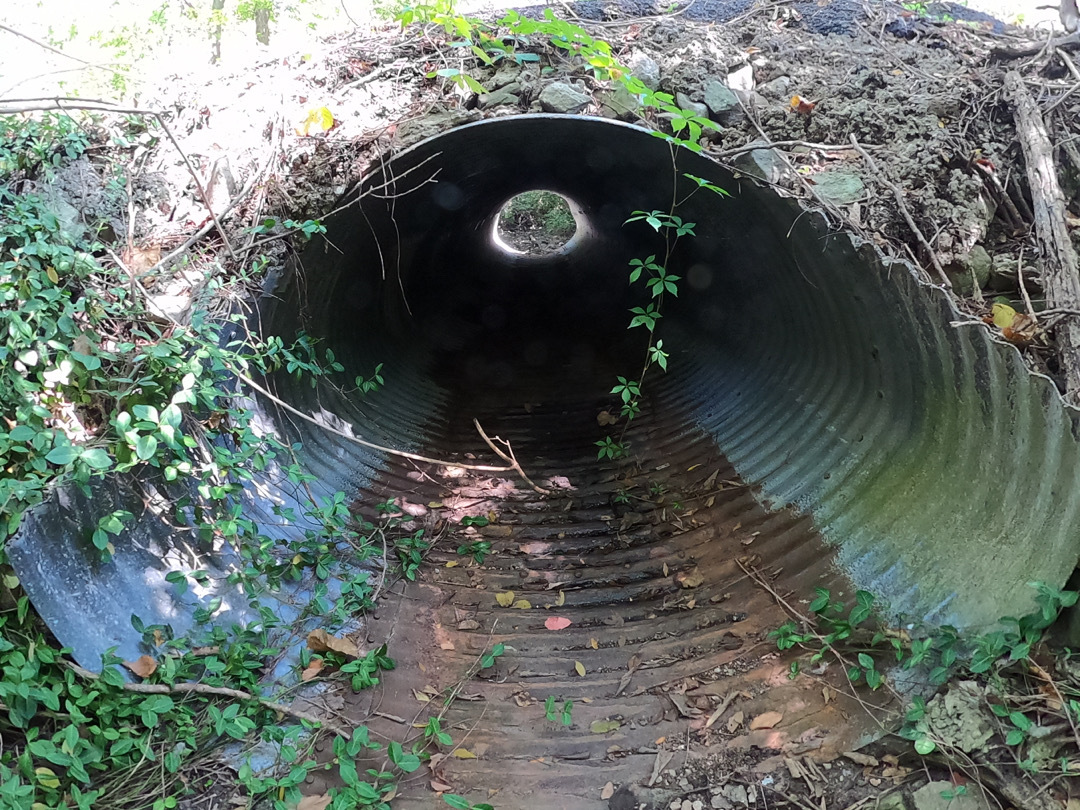
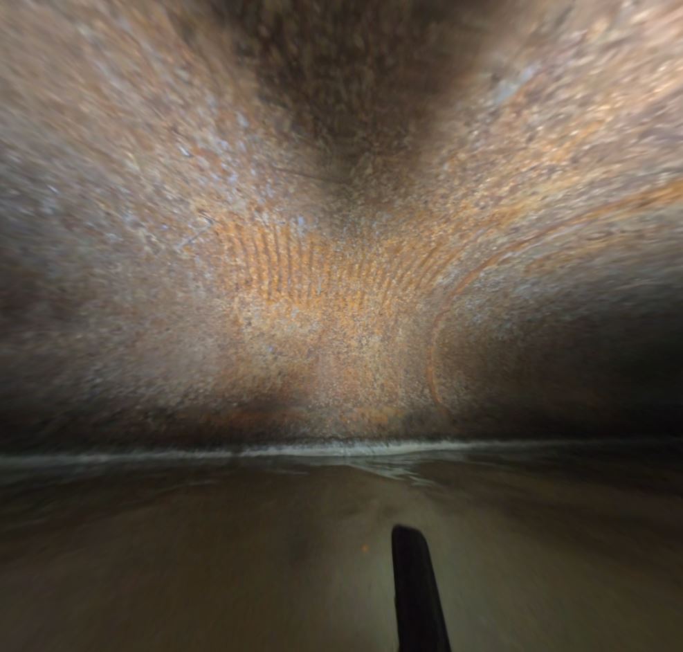
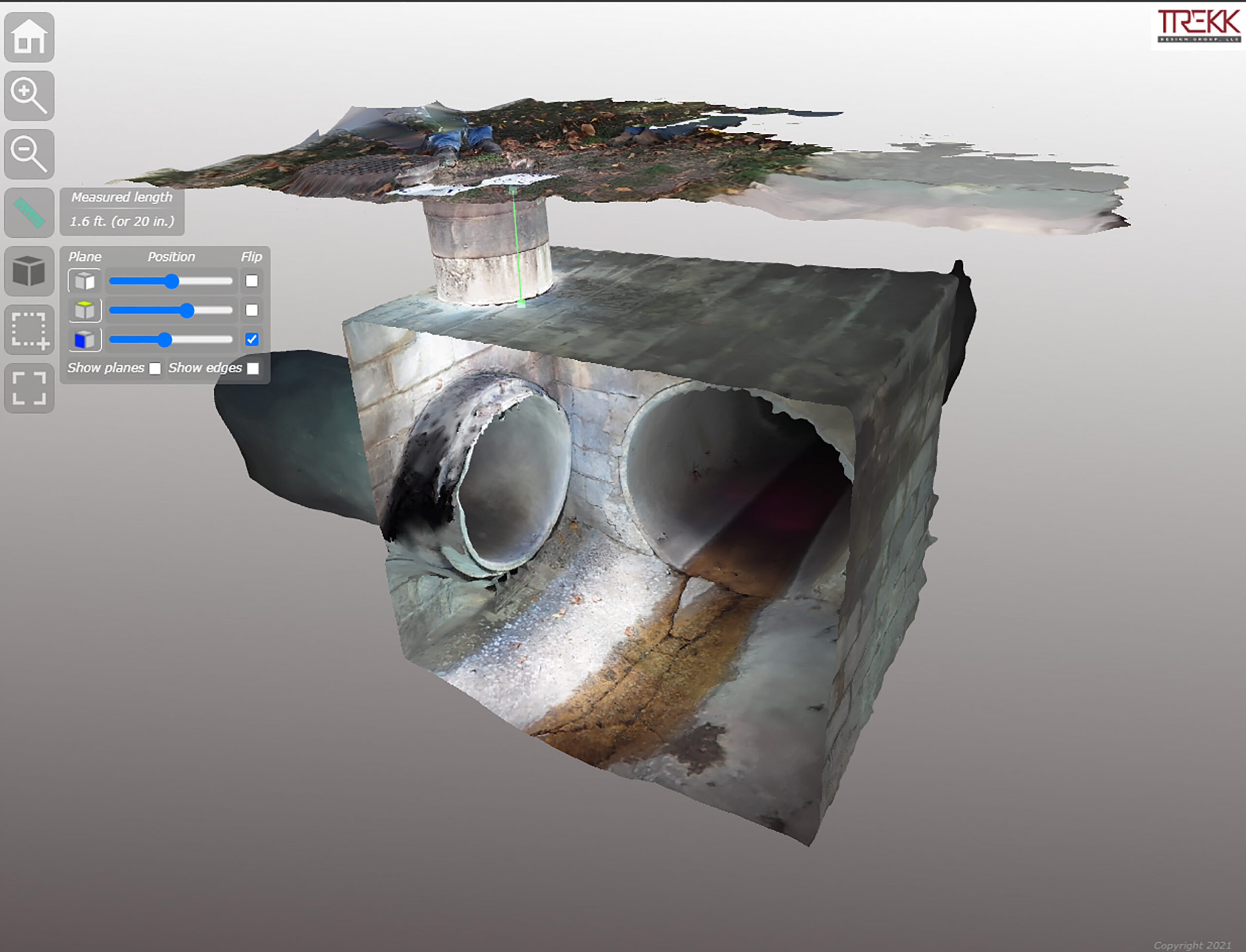
Throughout the project, TREKK has used innovative solutions to access buried or hard to locate structures. These innovations include attaching a camera to a remote-controlled car to drive down inaccessible structures and complete connectivity, including where adjacent structures tee into the main lines.
TREKK will continue to help populate the remaining attributed information in future phases.