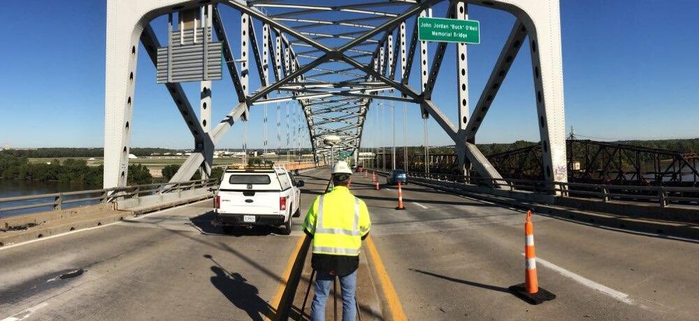
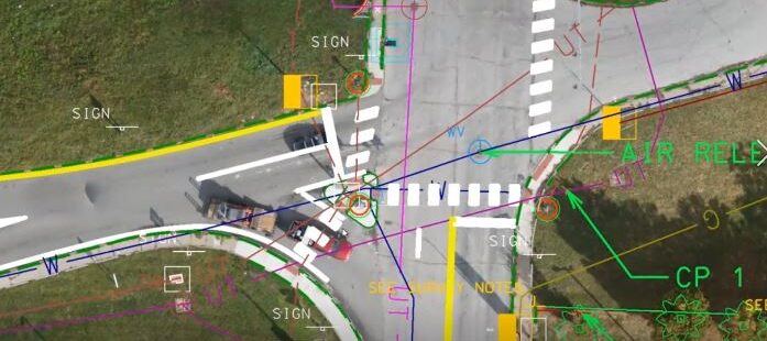
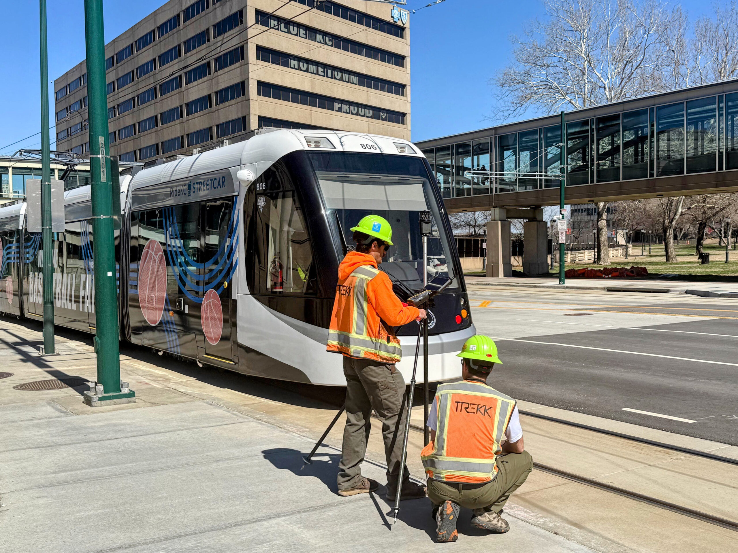
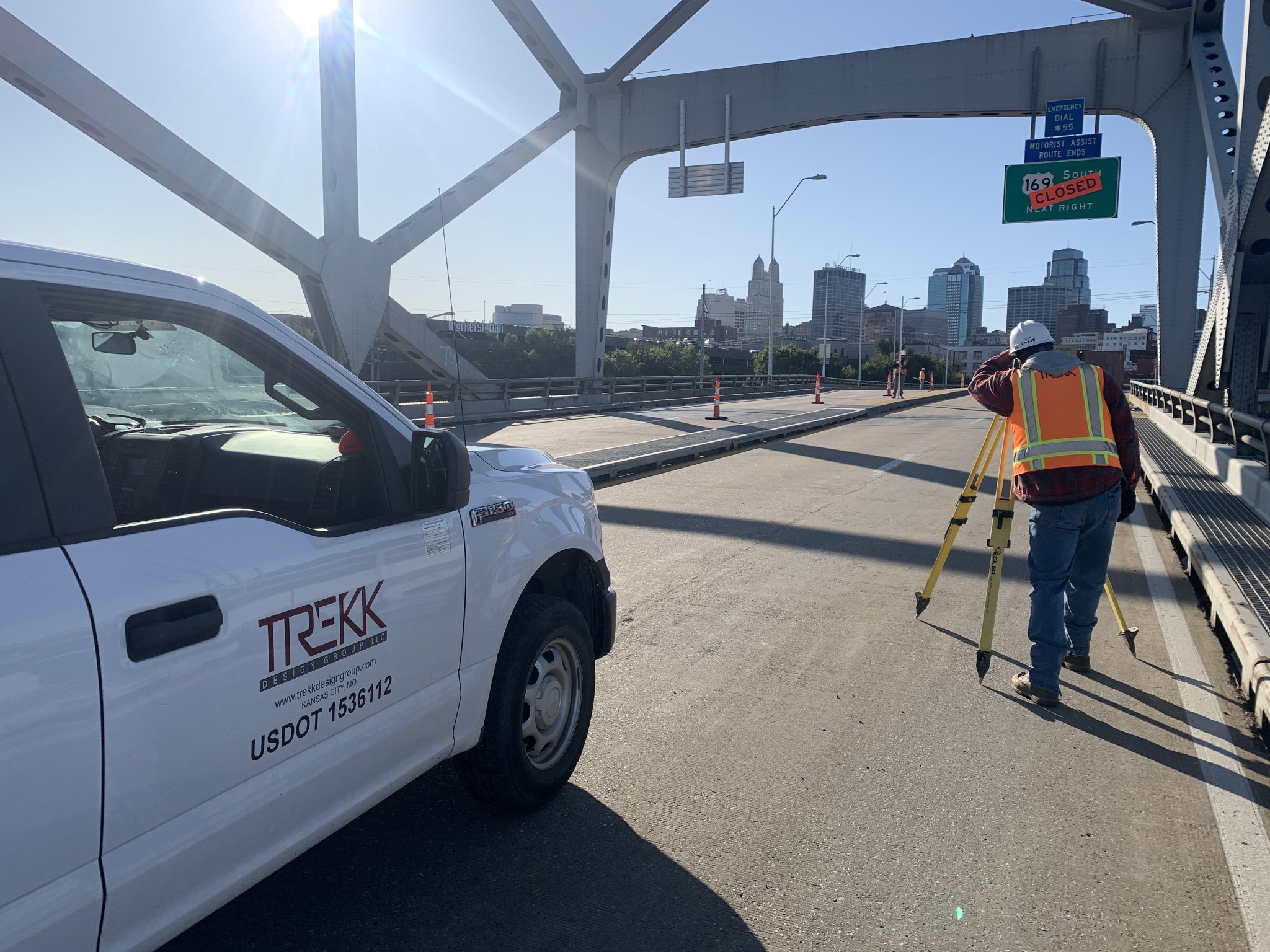
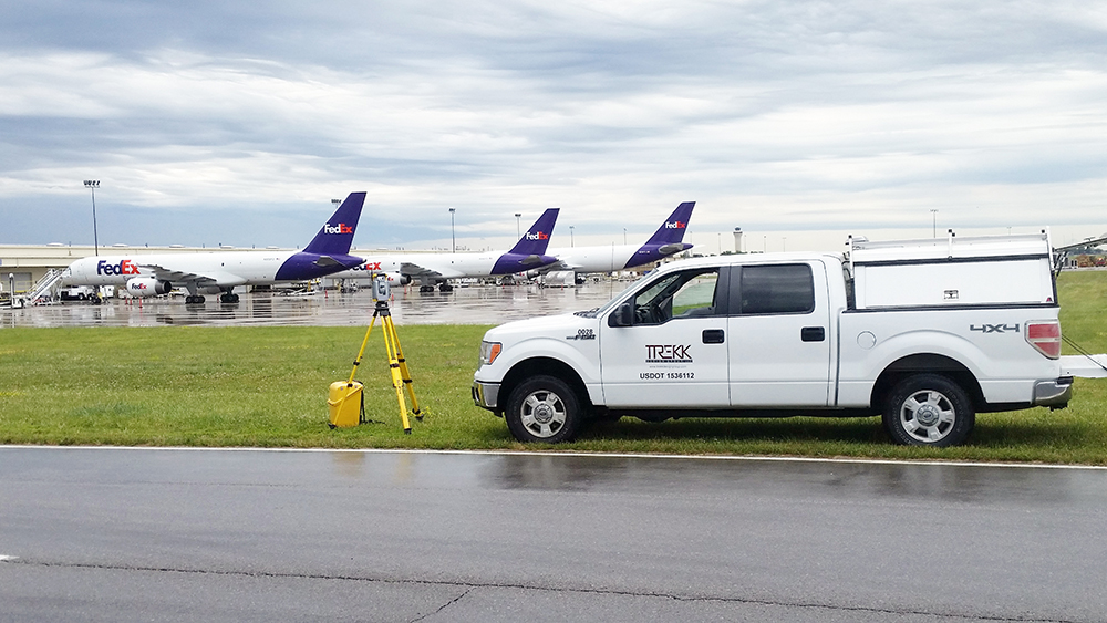
A project’s success hinges on accurate as-built survey and utility location. TREKK’s survey team delivers user-friendly survey, engineering and GIS data using a combination of technology tools.
Our traditional survey team brings expertise in land and construction surveying, easements and exhibits, right of way and property research. We offer mapping for transportation, bridge, water, wastewater, stormwater, BIM and site development projects.
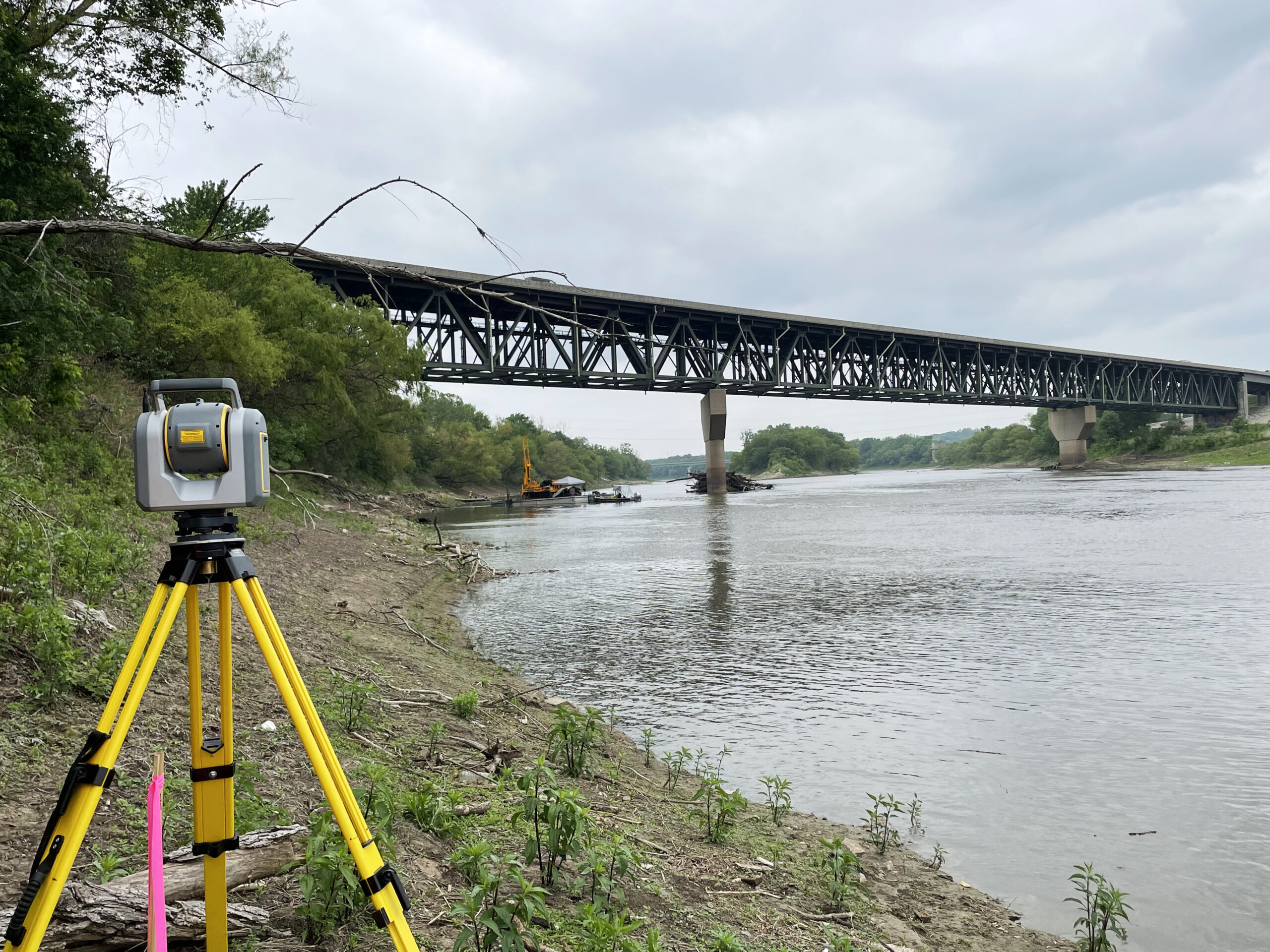
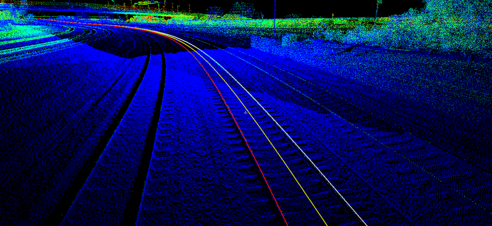
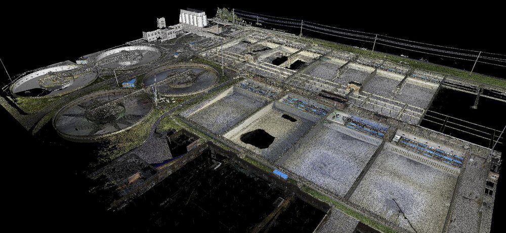
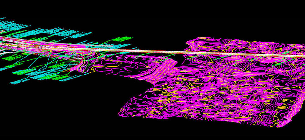
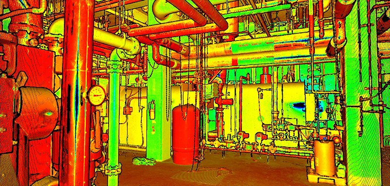
TREKK’s in-house LiDAR services include terrestrial, mobile LiDAR, aerial and SLAM, which allows us to safely gather survey-grade data without lane closures or traffic disruptions. Our terrestrial LiDAR services support indoor mapping for civil engineering, historical recordation, architectural, plant and mechanical operations. TREKK’s comprehensive LiDAR suite also includes SLAM technology, unmanned aircraft systems (UAS), and photogrammetry, providing versatile solutions for your scanning needs. These technologies work together seamlessly, enhancing quality and providing a more comprehensive digital twin.
Our value-added utility coordination and locating service offers the assurance and accuracy of subsurface utility location prior to survey and design. This service helps reduce costs associated with misinformation, incomplete data and construction change orders. TREKK offers seamless coordination with One Call service and local utility companies.