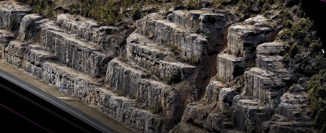
TREKK offers a comprehensive suite of LiDAR technologies to acquire survey-grade engineering data and meet our clients’ needs.
Aerial
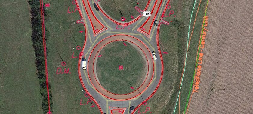
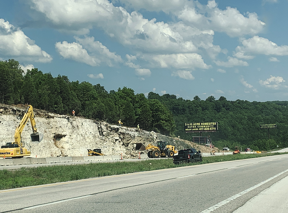
TREKK’s aerial systems unobtrusively acquire photogrammetry and LiDAR data to capture everything from small topographic surveys to large infrastructure corridors. The combination of high-definition photos and LiDAR data provides comprehensive, as-built data to help stakeholders make informed project decisions.
Mobile and SLAM
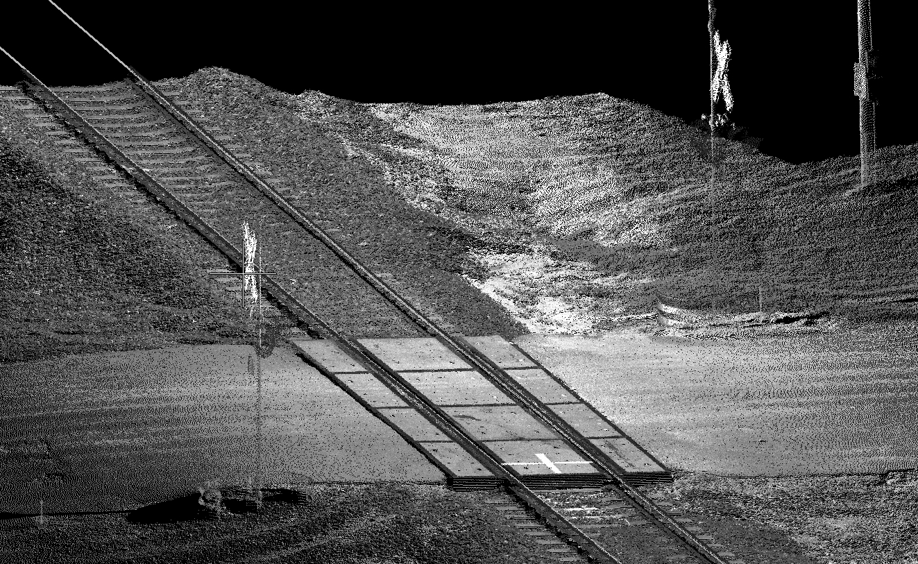
The versatility of TREKK’s terrestrial mobile LiDAR system allows for a variety of configurations. We can capture existing conditions from a vehicle traveling at posted speeds, or the system can be mounted on a hi-rail, ATV or backpack for customized acquisition. TREKK also uses LiDAR data to assess pavement surface distress along highways, sidewalks and runways. This data helps identify areas to monitor for future repair. The impact from this type of data capture for civil transportation provides additional safety for both our technicians and the public.
TREKK’s SLAM technology provides data capture in tunnels, vaults, building interiors and exteriors. This provides additional data in occluded areas with limited or no GPS. Implementing terrestrial mobile LiDAR as part of our in-house transportation toolbox provides safer data acquisition in dangerous environments, reducing risk for the entire project.
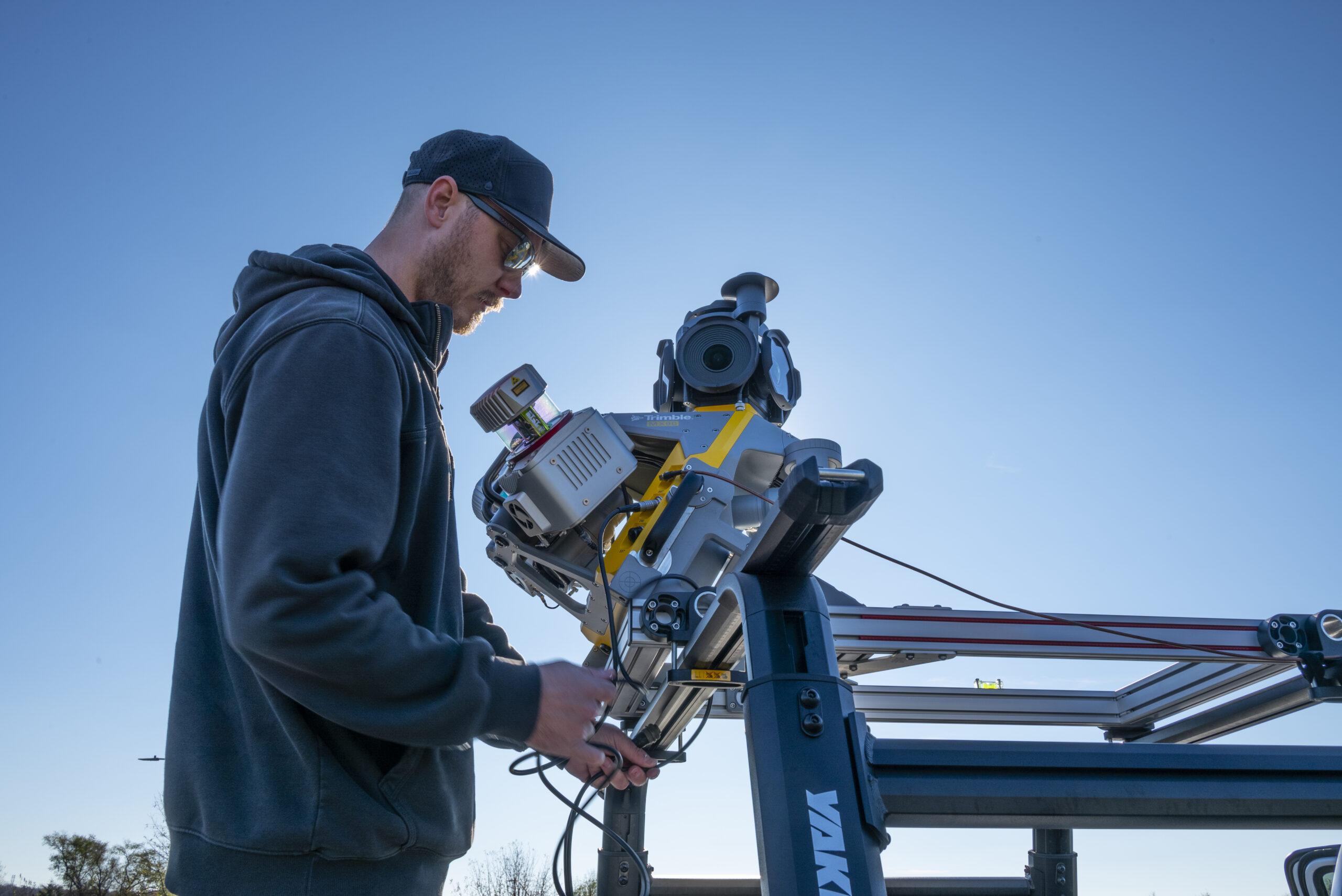
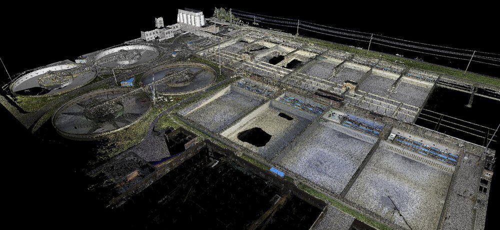
Terrestrial LiDAR
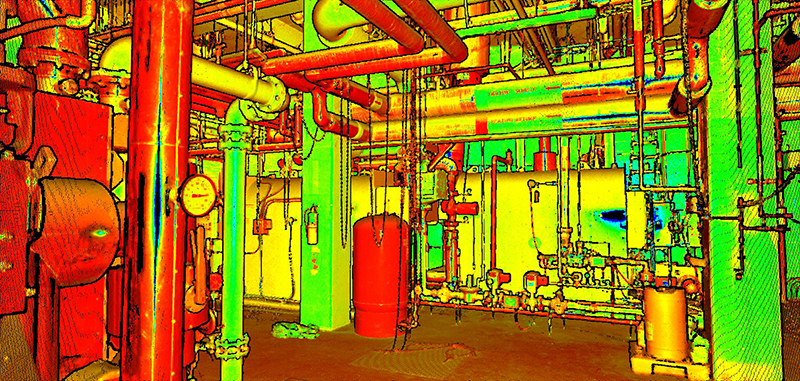
Static LiDAR allows for interior scanning of the built environment. Our in-house tripod mounted static scanners capture existing conditions for architectural and historic preservation, plant piping systems, bridge piers, oil and gas facilities, and building footprints.
Hydrographic
TREKK offers hydrographic applications for bathymetry surveying of underwater features and conditions. We use both single-and multi-beam technologies to quickly measure and log depths, making fast work of streams, ponds, rivers, lakes, drainage basins and shorelines. Bathymetry services for underwater topography can be used alone or in conjunction with TREKK’s other survey services for water level depths, channels, submerged obstructions, breakwaters, piers, tides, shoreline, flood control and navigation.