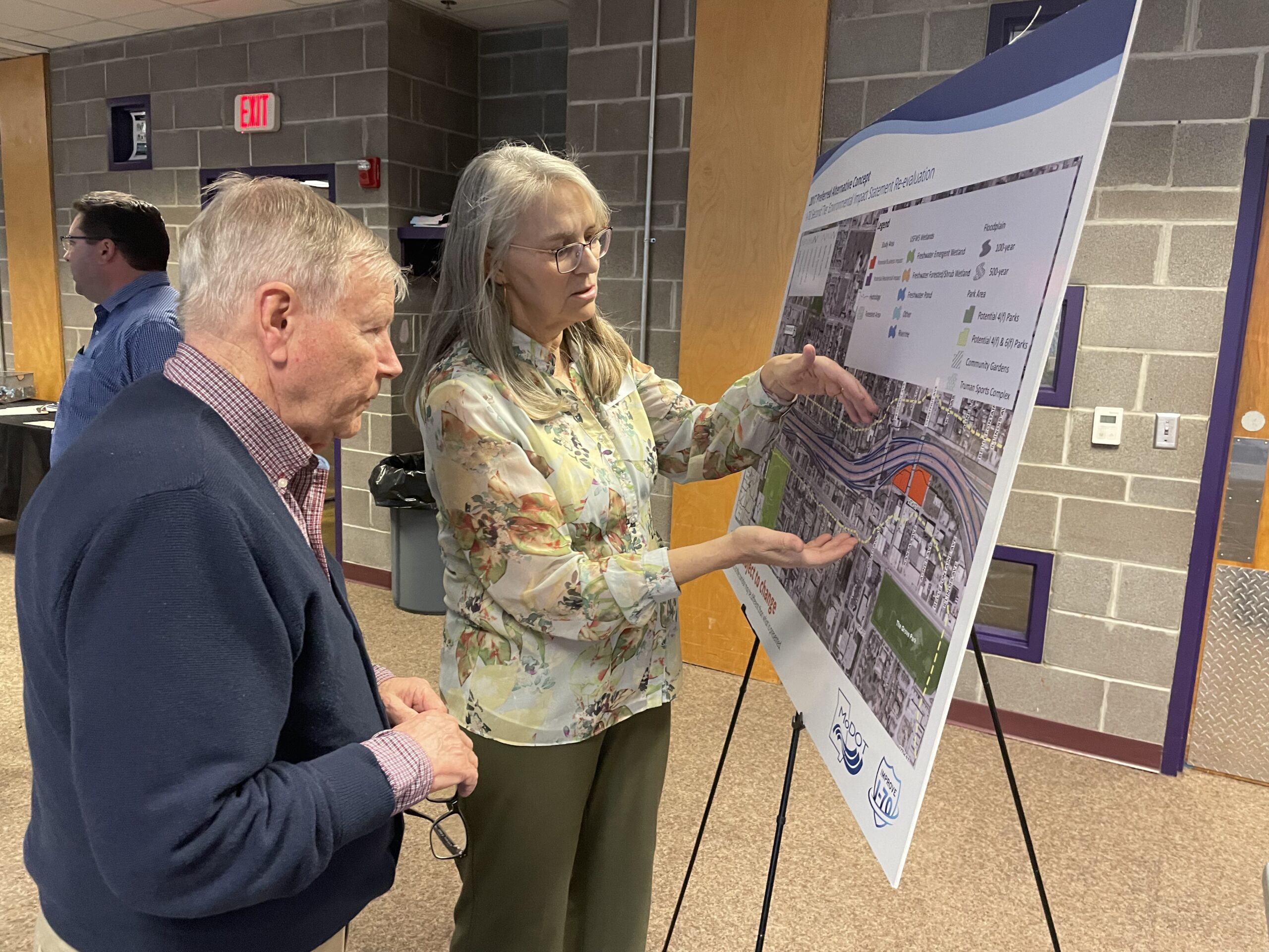
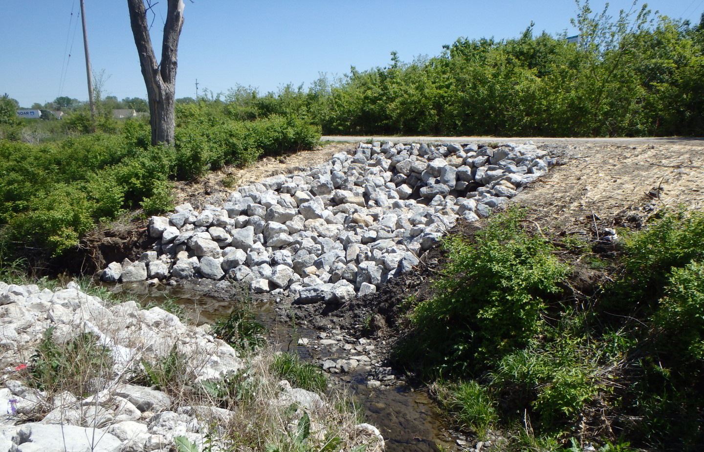
The city of Grandview initiated a stormwater master planning and condition assessment project to assess the extent and the condition of its stormwater system and meet its Missouri Department of Natural Resource’s MS4 requirements after receiving a Letter of Warning. An initial project in 2016 included CCTV inspection and review of existing CCTV and acoustic data, rehabilitation recommendations and illicit discharge detection and elimination inspections. After a severe flooding event in 2017, the city decided to evaluate its stormwater system, including natural overland stormwater paths, hydrologic conditions, and hydraulic capacities of existing stormwater pipes and update its 1988 stormwater master plan.
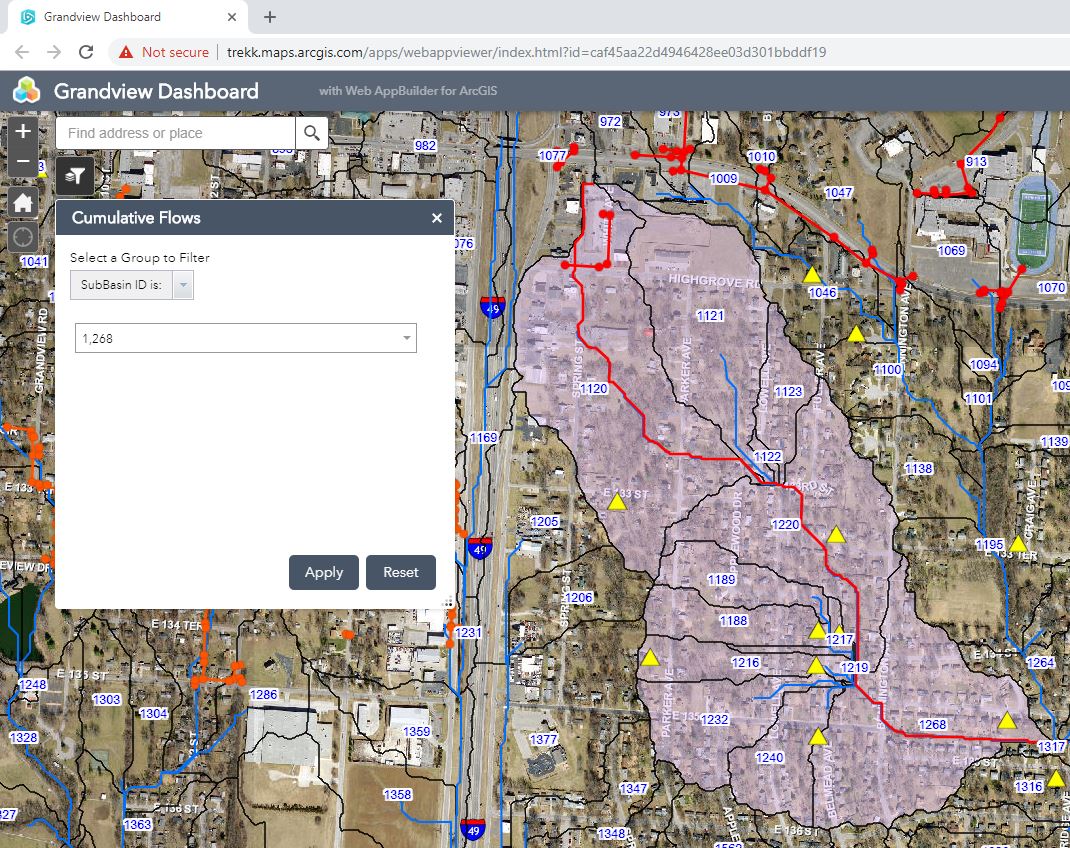
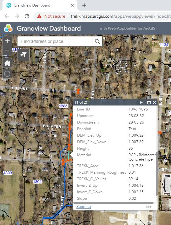
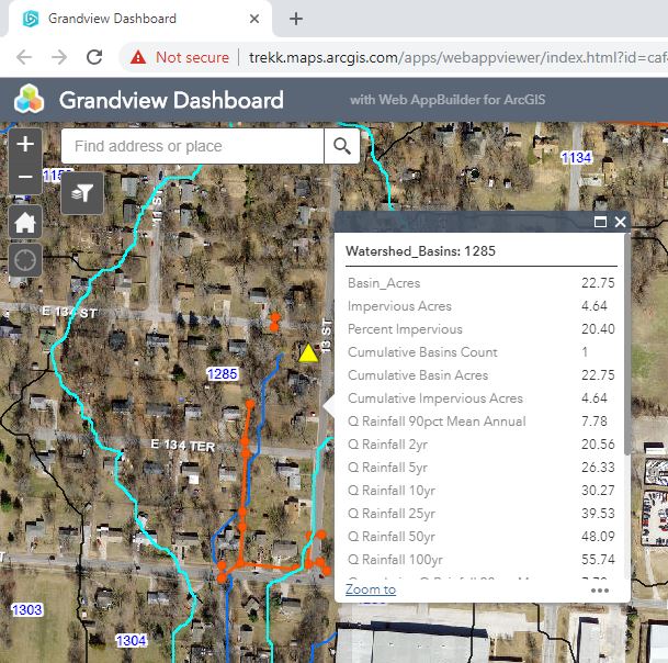
As part of a project team, TREKK conducted CCTV inspection of 5,924 linear feet of storm sewer, reviewed 23,000 linear feet of existing CCTV and acoustic data, provided rehabilitation recommendations and built a web-based dashboard based on existing LiDAR data. TREKK developed an innovative way to model the entire city and analyze hydraulic conditions of known stormwater systems. This also allowed for flow paths and time of concentrations to be developed for each drainage basin. Users can view any part of the city and determine the amount of flow reaching that point for various storm events.
As part of its MS4 program, the city is required to digitize its existing stormwater system into GIS. Using the portion of the city’s stormwater system that had already been digitized, TREKK built a database in the GIS dashboard that allowed for a quick pipe capacity analysis. Additional stormwater pipes can be added in as they become available. This GIS dashboard also includes all past stormwater complaints from residents and their location. This allows the city to quickly identify if stormwater complaints are due to natural flow paths or undersized pipes. Using this tool, the city can also plan for future development by seeing how much flow runs through a particular area.